
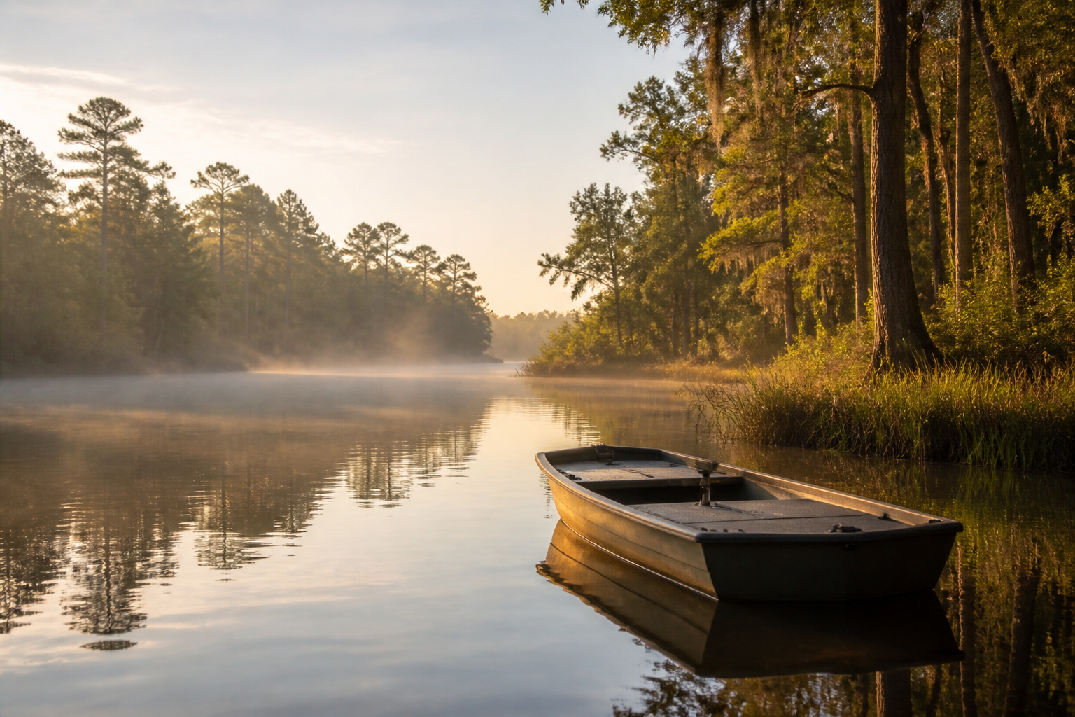
Boaters product
A planned iPhone companion for organizing waterway reference information and preparing boating and fishing trips. Bring your questions, compare useful resources, and plan ahead.
Boaters app · In development
From a day on the water to your next personal project, AquaHunter Intel is creating tools to help you prepare, understand your options, and keep useful information together. Explore our planned Boaters app and AI Companion. Public app purchases and downloads are not available yet.
Tools for your next adventure
Our products are being designed to make planning more approachable. Choose the experience that fits your interests and ask us about availability.
A planned iPhone companion for organizing waterway reference information and preparing boating and fishing trips. Bring your questions, compare useful resources, and plan ahead.
Tell us what would make your next outing easier: clearer information, accessible controls, or better ways to prepare. Share a product suggestion through Support.
Meet our planned AI Companion for clearer explanations, organized projects, and step-by-step guidance. Explore how it could help with your everyday questions and goals.
Check AI Companion availabilityExplore with care
A rewarding trip starts with preparation. Check local access, current rules, weather, and appropriate safety equipment before heading out.
The Suwannee is among our areas of interest. Published research is not a navigational chart or a safety clearance.
Official rules can change. Check the responsible government source before relying on regulatory information.
Carry current official references and suitable navigation equipment. Do not rely on website access or a phone signal on the water.
Plan responsibly
DFR materials are designed to support preparation and review. They are not a substitute for navigation equipment, emergency services, current official notices, or professional judgment.
For immediate danger, call 911 when available and use the emergency channels appropriate to your location and situation. Do not wait for this website, email, or the AquaHunter Intel Receptionist.
General inquiries
For general business, product, or accessibility questions, email support@dfr.guru. Email delivery, monitoring, and response times are not guaranteed. The AquaHunter Intel business line is (877) 853-5454. If you cannot reach us by phone, please use email. Live transfers, voicemail, callbacks, and SMS support are not currently offered. This is not an emergency service. Do not send passwords, verification or recovery codes, payment details, bank information, health records, signing material, or other unnecessary sensitive information.